

Digital twins for government
Turn cross-department data into accessible digital twins that work in any browser. No installs, no specialist training, no per-seat limits.


Scale digital twin capabilities without enterprise complexity
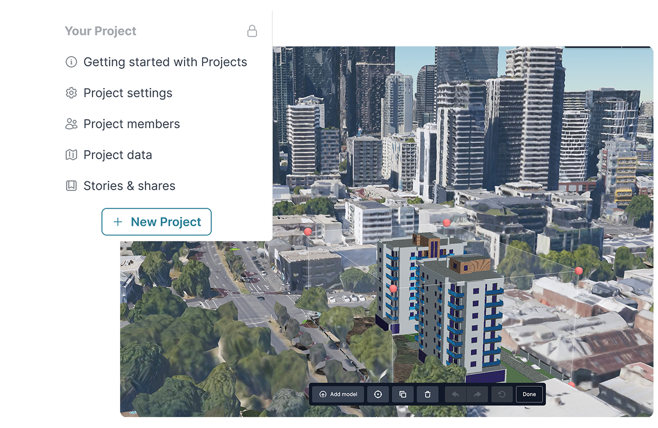
Build comprehensive digital twins that combine live data, 3D visualisation, and cross-domain federation—without expensive add-on licensing or per-seat restrictions that make organisation-wide innovation cost-prohibitive.
Enable organisation-wide spatial collaboration
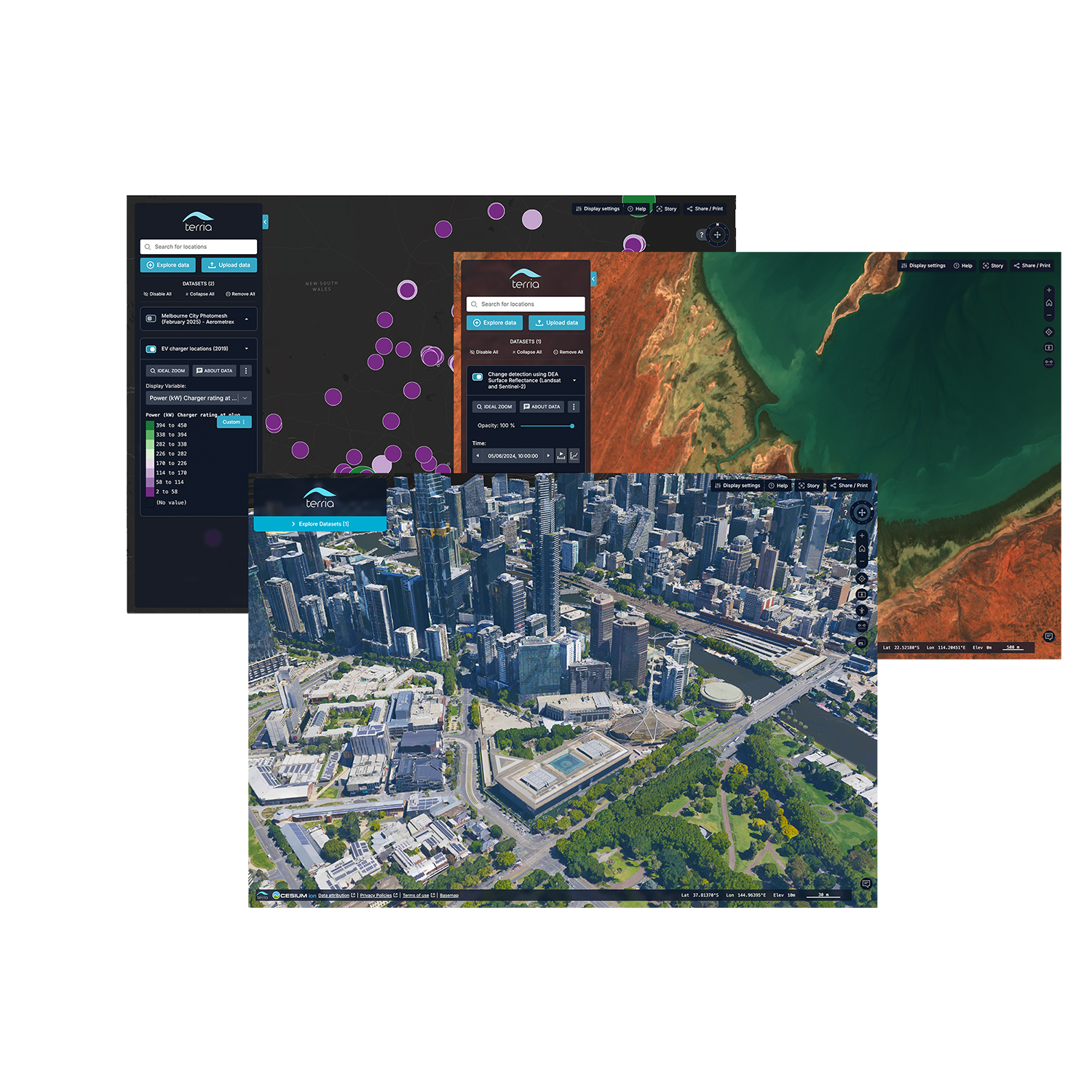
Combine data from transport, environment, planning, and infrastructure teams. Any government employee can explore, analyse, and present spatial data without GIS expertise or expensive licensing barriers.

Engage communities with transparent, data-driven visualisation
Replace static PDFs and expensive, once-off fly-throughs with interactive maps showing real conditions. Help residents understand "what does a 50-meter building next door actually look like?" through data-driven representations that build trust.
Unlock ROI from expensive datasets
Your organisation has invested millions in LiDAR surveys, 3D models, and IoT feeds. Terria makes this valuable data accessible across all departments, supporting organisational intelligence that everyone can use.

Enhance existing GIS investments
Terria federates your current Esri systems, open data portals, and proprietary datasets into unified digital twins. Keep your existing tools while adding collaborative visualisation that scales across unlimited users.
CASE STUDY

Australian digital twins
Discover how Terria is transforming the way government agencies share and use spatial data—making vital information more engaging, interactive, and accessible for everyone, from policymakers to local communities.

Transform your spatial data strategy
This comprehensive guide provides everything you need to know to get started, from setting clear goals to selecting the right data and tools.
Digital Twin 101 - Your Essential Guide & Checklist to Building an Impactful Digital Twin

Take your spatial project to the next dimension
See how teams like yours are building digital twins that engage stakeholders and accelerate decisions.