

TerriaJS
The open-source core powering spatial digital twins
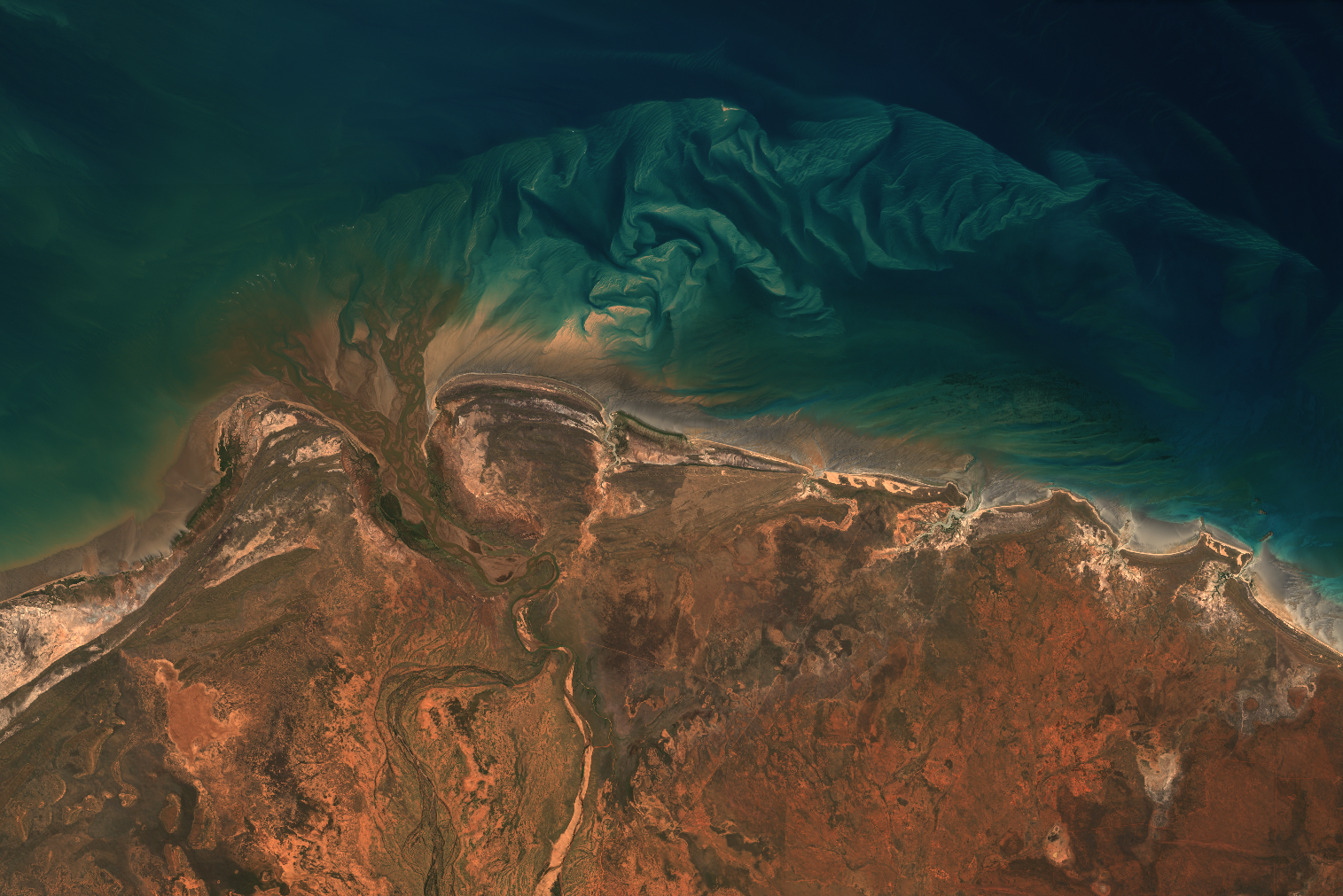
Built with CesiumJS and Leaflet, TerriaJS federates 2D maps, 3D models, and live data into into unified digital twins that anyone can explore in their browser.

TerriaJS is a powerful open-source toolkit for building world-class spatial data platforms and digital twins
A decade of growth
What started as Australia's solution for national data sharing has grown into a global framework powering government portals, research platforms, and commercial applications worldwide.
Today, that same proven core powers both custom applications and our managed Terria Platform—giving you choice in how you deploy world-class spatial digital twins.

Which option fits?
Choose TerriaJS open source if you:
Have development resources
Need deep customization beyond standard digital twin workflows
Want to build a unique spatial application or contribute to the codebase
Prefer to manage your own hosting and security
Scroll down to get started ↓
Consider the Terria Platform if you:
Want plug-and-play digital twins
Need enterprise features like access controls and team management
Prefer professional support and guaranteed uptime
Want to focus on your data insights, not infrastructure management
Getting started with TerriaJS
The easiest way to start is by cloning our boilerplate project TerriaMap
View TerriaMap on Github
Essential
TerriaMap is a full-featured application built on TerriaJS, ready to be customised with your own branding and catalogue. It is also a great starting point for more in-depth customisation. Head to Github to get started.
Documentation
Get going with our TerriaJS Getting Started Guide.

Core capabilities
Dynamic integration and visualisation

TerriaJS supports both hand-curated data catalogues and real-time federation through live querying of online services—giving you flexibility in how you structure and present spatial data.

2D and 3D visualisation
Visualize data in 2D and 3D with support for terrain models, building footprints, and time-series animations that show how spatial data changes over time.

Data stories
Create guided tours through spatial datasets with interactive stories that combine maps, charts, and narrative text to explain complex information.
Join the community
Your contributions matter. Join us in shaping the future of open geospatial tech.
Elevate your open source journey with TerriaJS
TerriaJS is redefining geospatial data with a powerful, open-source framework that fuels platforms like Australia’s NationalMap and the NSW Digital Twin.
For developers passionate about making a real-world impact, we invite you to be part of TerriaJS’s mission of making spatial data and technology more accessible and useful for everyone.
Follow and contribute on GitHub

Your expertise can drive innovation. By following our development and contributing on TerriaJS GitHub, you’ll collaborate with a vibrant community, create new features, and help solve critical challenges in spatial data visualization.
Join the TerriaJS discussion forum

Connect with developers worldwide in our Discussion Forum. Ask questions, share feedback, and help guide TerriaJS’s evolution. This forum is your space to exchange ideas, get insights, and co-create solutions.
Help shape the future of Terria - join our team!
We’re looking for talented software and data engineers who share our passion for innovation, open source, and geospatial data. If you believe in harnessing technology to make a real impact, check out our careers page.