
Digital twins for infrastructure projects
Turn complex project data into accessible digital twins that work in any browser. No installs, no specialist training, no per-seat limits.


Turn project complexity into stakeholder clarity
Prevent costly mistakes through early visualisation
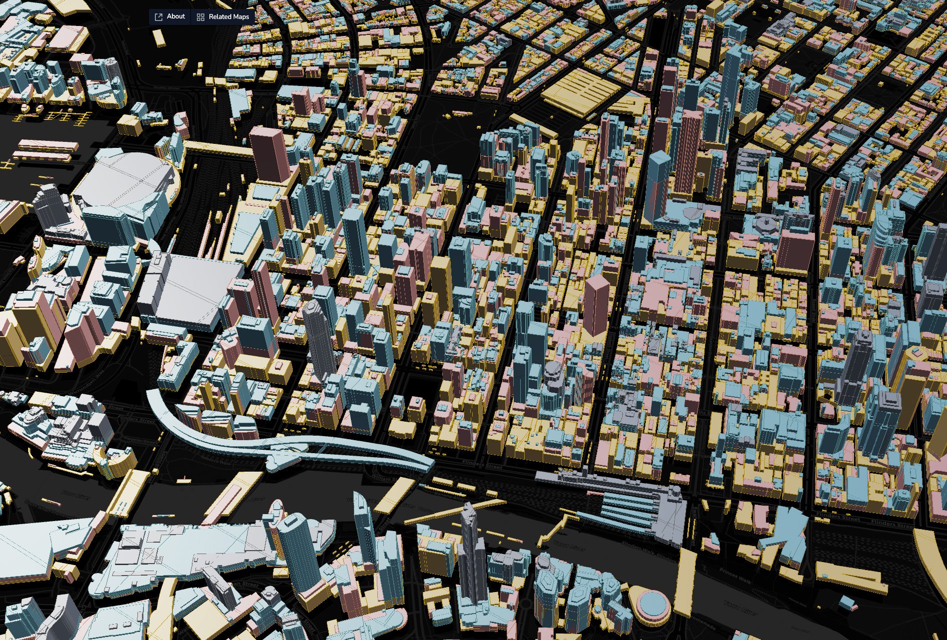
Combine survey data, site overlays, environmental constraints, and design models in one view. Spot hard-to-find combined issues during planning instead of construction.

Scale stakeholder engagement without barriers
Share project insights with unlimited collaborators through simple web links. No software installations, no per-seat licensing restrictions.

Go from technical reports to stakeholder stories
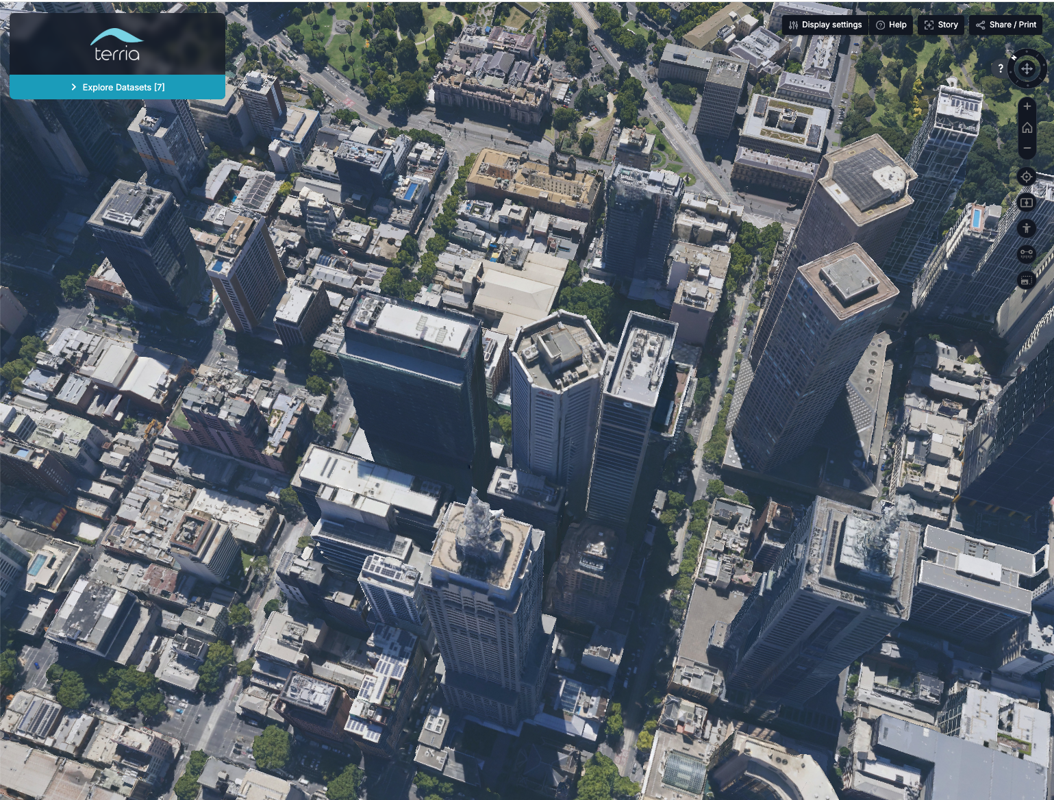
Replace static PDFs and expensive once-off flythroughs with interactive project maps that stakeholders can explore. Show development impacts from any property, or demonstrate how new infrastructure fits into existing environments.

Maintain project memory across phases
Keep all project intelligence—from feasibility studies to community feedback—connected to your digital twin. Eliminate the hunt for data from previous project phases.
More from Terria

How CNC Project Management brought community consultation to life in regional Australia

From cost modelling to lifecycle intelligence: WT Australia's evolution with Terria

How SiteDE built connected digital twins for infrastructure delivery
“These projects have allowed us to bring data to life for our clients, from construction right through to asset use.”

Cristobal Sierra, Digital Engineer, WT Australia
Take your spatial project to the next dimension
See how teams like yours are building digital twins that engage stakeholders and accelerate decisions.